
琉璃渠社区 topographic map
Interactive map
Click on the map to display elevation.
About this map
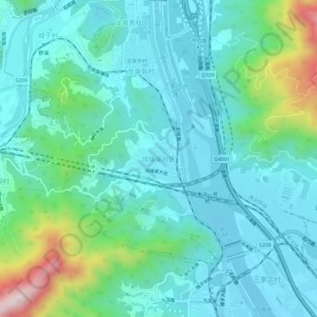
Name: 琉璃渠社区 topographic map, elevation, terrain.
Location: 琉璃渠社区, 门头沟区, 北京市, 102399, 中国 (39.94993 116.06202 39.98993 116.10202)
Average elevation: 673 ft
Minimum elevation: 328 ft
Maximum elevation: 2,060 ft
Other topographic maps
Click on a map to view its topography, its elevation and its terrain.