
大寒岭 topographic map
Interactive map
Click on the map to display elevation.
About this map
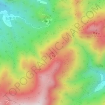
Name: 大寒岭 topographic map, elevation, terrain.
Location: 大寒岭, 门头沟区, 北京市, 中国 (39.93346 115.80705 39.93356 115.80715)
Average elevation: 3,064 ft
Minimum elevation: 2,028 ft
Maximum elevation: 4,163 ft
Other topographic maps
Click on a map to view its topography, its elevation and its terrain.