
刘打兔 topographic map
Interactive map
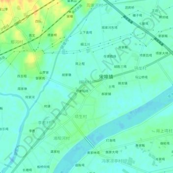
Click on the map to display elevation.
About this map
Name: 刘打兔 topographic map, elevation, terrain.
Location: 刘打兔, 麻城市, 黄冈市, 湖北省, 中国 (31.05156 114.77772 31.09156 114.81772)
Average elevation: 125 ft
Minimum elevation: 95 ft
Maximum elevation: 200 ft
Other topographic maps
Click on a map to view its topography, its elevation and its terrain.