
阮家塆 topographic map
Interactive map
Click on the map to display elevation.
About this map
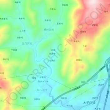
Name: 阮家塆 topographic map, elevation, terrain.
Location: 阮家塆, 麻城市, 黄冈市, 湖北省, 中国 (31.18790 115.32728 31.22790 115.36728)
Average elevation: 942 ft
Minimum elevation: 413 ft
Maximum elevation: 2,005 ft
Other topographic maps
Click on a map to view its topography, its elevation and its terrain.