
沈家河 topographic map
Interactive map
Click on the map to display elevation.
About this map
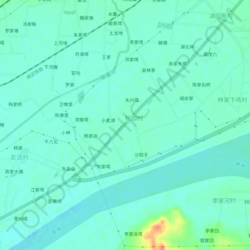
Name: 沈家河 topographic map, elevation, terrain.
Location: 沈家河, 麻城市, 黄冈市, 湖北省, 中国 (31.08402 114.84458 31.12402 114.88458)
Average elevation: 131 ft
Minimum elevation: 98 ft
Maximum elevation: 262 ft
Other topographic maps
Click on a map to view its topography, its elevation and its terrain.