
李家墩 topographic map
Interactive map
Click on the map to display elevation.
About this map
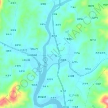
Name: 李家墩 topographic map, elevation, terrain.
Location: 李家墩, 麻城市, 黄冈市, 湖北省, 中国 (31.42101 115.07097 31.46101 115.11097)
Average elevation: 417 ft
Minimum elevation: 279 ft
Maximum elevation: 1,017 ft
Other topographic maps
Click on a map to view its topography, its elevation and its terrain.