
独山冲 topographic map
Interactive map
Click on the map to display elevation.
About this map
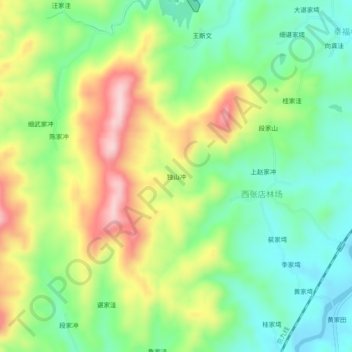
Name: 独山冲 topographic map, elevation, terrain.
Location: 独山冲, 麻城市, 黄冈市, 湖北省, 中国 (31.40253 114.82498 31.44253 114.86498)
Average elevation: 604 ft
Minimum elevation: 269 ft
Maximum elevation: 1,122 ft
Other topographic maps
Click on a map to view its topography, its elevation and its terrain.