
底下畈 topographic map
Interactive map
Click on the map to display elevation.
About this map
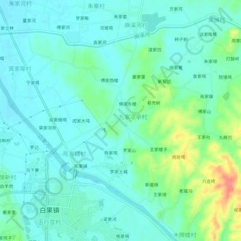
Name: 底下畈 topographic map, elevation, terrain.
Location: 底下畈, 麻城市, 黄冈市, 湖北省, 中国 (31.03606 115.00416 31.07606 115.04416)
Average elevation: 203 ft
Minimum elevation: 154 ft
Maximum elevation: 358 ft
Other topographic maps
Click on a map to view its topography, its elevation and its terrain.