
新建街 topographic map
Interactive map
Click on the map to display elevation.
About this map
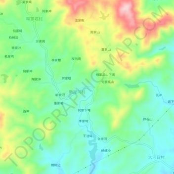
Name: 新建街 topographic map, elevation, terrain.
Location: 新建街, 麻城市, 黄冈市, 湖北省, 中国 (31.38819 115.02727 31.42819 115.06727)
Average elevation: 545 ft
Minimum elevation: 279 ft
Maximum elevation: 1,037 ft
Other topographic maps
Click on a map to view its topography, its elevation and its terrain.