
胡志龙塆 topographic map
Interactive map
Click on the map to display elevation.
About this map
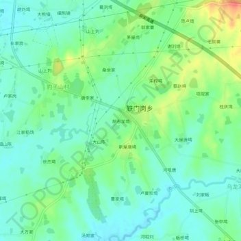
Name: 胡志龙塆 topographic map, elevation, terrain.
Location: 胡志龙塆, 麻城市, 黄冈市, 湖北省, 中国 (31.01824 114.82591 31.05824 114.86591)
Average elevation: 157 ft
Minimum elevation: 105 ft
Maximum elevation: 272 ft
Other topographic maps
Click on a map to view its topography, its elevation and its terrain.