
何谭 topographic map
Interactive map
Click on the map to display elevation.
About this map
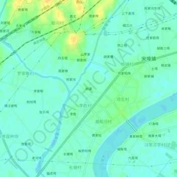
Name: 何谭 topographic map, elevation, terrain.
Location: 何谭, 麻城市, 黄冈市, 湖北省, 中国 (31.04708 114.76709 31.08708 114.80709)
Average elevation: 121 ft
Minimum elevation: 95 ft
Maximum elevation: 184 ft
Other topographic maps
Click on a map to view its topography, its elevation and its terrain.