
南盛镇 topographic map
Interactive map
Click on the map to display elevation.
About this map
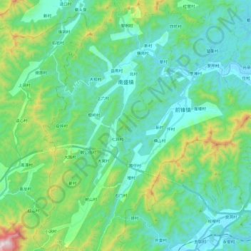
Name: 南盛镇 topographic map, elevation, terrain.
Location: 南盛镇, 云城区, 云浮市, 广东省, 中国 (22.70124 111.98527 22.89897 112.12227)
Average elevation: 817 ft
Minimum elevation: 82 ft
Maximum elevation: 3,625 ft
Other topographic maps
Click on a map to view its topography, its elevation and its terrain.