
大孤山街道 topographic map
Interactive map
Click on the map to display elevation.
About this map
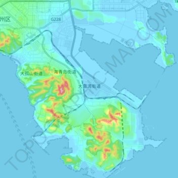
Name: 大孤山街道 topographic map, elevation, terrain.
Location: 大孤山街道, 金州区, 大连市, 辽宁省, 中国 (38.94524 121.78330 39.06023 121.92215)
Average elevation: 56 ft
Minimum elevation: -26 ft
Maximum elevation: 778 ft
Other topographic maps
Click on a map to view its topography, its elevation and its terrain.