
西大地村 topographic map
Interactive map
Click on the map to display elevation.
About this map
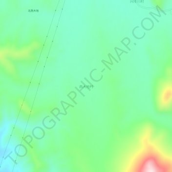
Name: 西大地村 topographic map, elevation, terrain.
Location: 西大地村, 吉林市, 吉林省, 中国 (43.22934 126.18396 43.26934 126.22396)
Average elevation: 1,401 ft
Minimum elevation: 1,056 ft
Maximum elevation: 2,329 ft
Other topographic maps
Click on a map to view its topography, its elevation and its terrain.