
船营区 topographic map
Interactive map
Click on the map to display elevation.
About this map
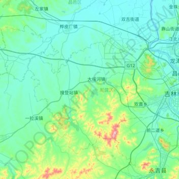
Name: 船营区 topographic map, elevation, terrain.
Location: 船营区, 吉林市, 吉林省, 132011, 中国 (43.70265 126.01696 43.98521 126.56145)
Average elevation: 804 ft
Minimum elevation: 571 ft
Maximum elevation: 2,477 ft
Other topographic maps
Click on a map to view its topography, its elevation and its terrain.