
哈什马村 topographic map
Interactive map
Click on the map to display elevation.
About this map
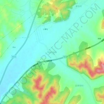
Name: 哈什马村 topographic map, elevation, terrain.
Location: 哈什马村, 吉林市, 吉林省, 中国 (44.17427 126.66675 44.21427 126.70675)
Average elevation: 804 ft
Minimum elevation: 663 ft
Maximum elevation: 1,152 ft
Other topographic maps
Click on a map to view its topography, its elevation and its terrain.