
西土山 topographic map
Interactive map
Click on the map to display elevation.
About this map
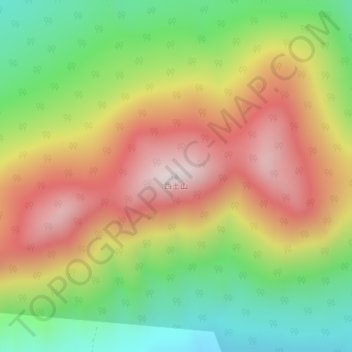
Name: 西土山 topographic map, elevation, terrain.
Location: 西土山, 吉林市, 吉林省, 中国 (44.01104 127.40461 44.01114 127.40471)
Average elevation: 2,802 ft
Minimum elevation: 1,814 ft
Maximum elevation: 3,852 ft
Other topographic maps
Click on a map to view its topography, its elevation and its terrain.