
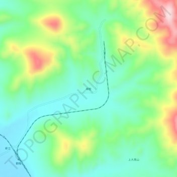
得胜 topographic map
Interactive map
Click on the map to display elevation.
About this map
Name: 得胜 topographic map, elevation, terrain.
Location: 得胜, 磐石市, 吉林市, 吉林省, 中国 (43.24554 126.08254 43.28554 126.12254)
Average elevation: 1,198 ft
Minimum elevation: 846 ft
Maximum elevation: 1,939 ft
Other topographic maps
Click on a map to view its topography, its elevation and its terrain.