
永吉县 topographic map
Interactive map
Click on the map to display elevation.
About this map
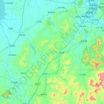
Name: 永吉县 topographic map, elevation, terrain.
Location: 永吉县, 吉林市, 吉林省, 中国 (43.31064 125.79536 43.88666 126.65553)
Average elevation: 1,093 ft
Minimum elevation: 584 ft
Maximum elevation: 4,528 ft
Other topographic maps
Click on a map to view its topography, its elevation and its terrain.