
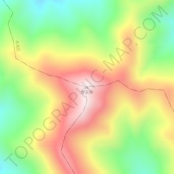
摩天岭 topographic map
Interactive map
Click on the map to display elevation.
About this map
Name: 摩天岭 topographic map, elevation, terrain.
Location: 摩天岭, 吉林市, 吉林省, 中国 (43.45890 126.64964 43.45900 126.64974)
Average elevation: 3,248 ft
Minimum elevation: 2,297 ft
Maximum elevation: 4,272 ft
Other topographic maps
Click on a map to view its topography, its elevation and its terrain.