
宁安市 topographic map
Interactive map
Click on the map to display elevation.
About this map
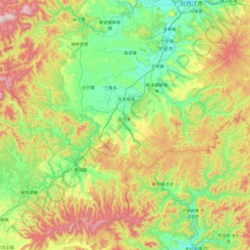
Name: 宁安市 topographic map, elevation, terrain.
Location: 宁安市, 牡丹江市, 黑龙江省, 中国 (43.52065 128.45580 44.46022 130.04773)
Average elevation: 1,841 ft
Minimum elevation: 738 ft
Maximum elevation: 4,846 ft
Other topographic maps
Click on a map to view its topography, its elevation and its terrain.