
扎龙镇 topographic map
Interactive map
Click on the map to display elevation.
About this map
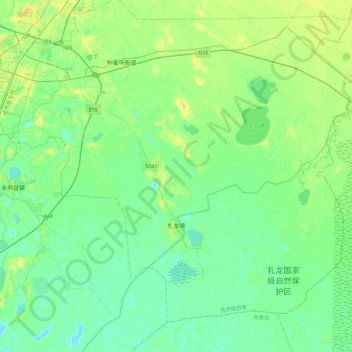
Name: 扎龙镇 topographic map, elevation, terrain.
Location: 扎龙镇, 铁锋区, 齐齐哈尔市, 黑龙江省, 161000, 中国 (47.12893 123.97127 47.38311 124.42227)
Average elevation: 482 ft
Minimum elevation: 463 ft
Maximum elevation: 518 ft
Other topographic maps
Click on a map to view its topography, its elevation and its terrain.