
漠河市 topographic map
Interactive map
Click on the map to display elevation.
About this map
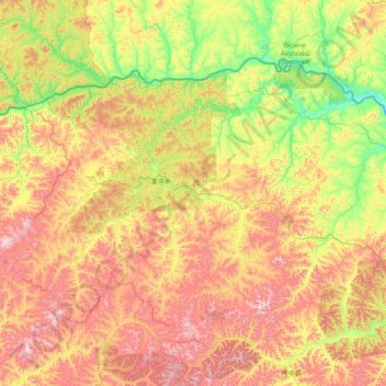
Name: 漠河市 topographic map, elevation, terrain.
Location: 漠河市, 大兴安岭地区, 黑龙江省, 中国 (52.25230 121.18411 53.56082 124.27974)
Average elevation: 2,014 ft
Minimum elevation: 794 ft
Maximum elevation: 4,577 ft
Other topographic maps
Click on a map to view its topography, its elevation and its terrain.