
中心村 topographic map
Interactive map
Click on the map to display elevation.
About this map
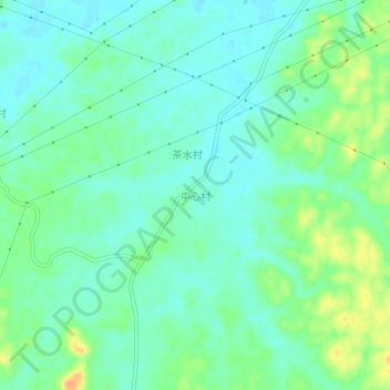
Name: 中心村 topographic map, elevation, terrain.
Location: 中心村, 江城区, 阳江市, 广东省, 中国 (21.89185 111.75173 21.93185 111.79173)
Average elevation: 56 ft
Minimum elevation: 16 ft
Maximum elevation: 135 ft
Other topographic maps
Click on a map to view its topography, its elevation and its terrain.