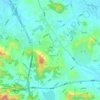
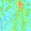
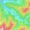
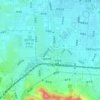
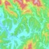
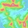
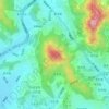
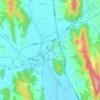
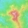
Ulsan topographic map
Click on the map to display elevation.
About this map
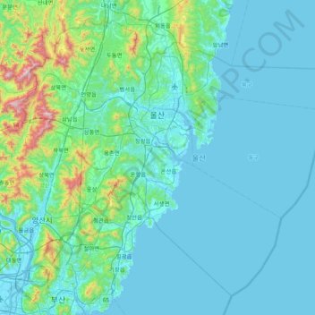
Name: Ulsan topographic map, elevation, terrain.
Location: Ulsan, South Korea (35.18617 128.97074 35.72449 129.72062)
Average elevation: 410 ft
Minimum elevation: -7 ft
Maximum elevation: 3,911 ft
Other topographic maps
Click on a map to view its topography, its elevation and its terrain.







Hallasan
The occurrence of the highest temperature coincides with the formation position of the eddy, and when the wind is weak, the eddy forms in the middle mountain region. When the wind is weak, the warmth is accumulated in the middle layer, so the maximum temperature in the mid-mountainous area is higher than the…
Average elevation: 5,420 ft



Hallasan
The occurrence of the highest temperature coincides with the formation position of the eddy, and when the wind is weak, the eddy forms in the middle mountain region. When the wind is weak, the warmth is accumulated in the middle layer, so the maximum temperature in the mid-mountainous area is higher than the…
Average elevation: 5,420 ft



Dokdo-ri
The Liancourt Rocks, known in Korea as Dokdo (Korean: 독도) and in Japan as Takeshima (Japanese: 竹島), are a group of islets in the Sea of Japan between the Korean Peninsula and the Japanese archipelago administered by South Korea. The Liancourt Rocks comprise two main islets and 35 smaller rocks; the…
Average elevation: 0 ft


Gimcheon
Mt. Hwangaksan (1,111m in elevation), home of Jikjisa, is located in the Sobaeksan Mountains. The area is a habitat for many cranes that reside on this mountain. This location is also known for its pine forests, streams, fall foliage and snowscapes.
Average elevation: 863 ft

Hallasan
The occurrence of the highest temperature coincides with the formation position of Eddy, and when the wind is weak, it is formed in the middle mountain region. When the wind is weak, the warmth is accumulated in the middle layer, so the maximum temperature in the mid-mountainous area is higher than the maximum…
Average elevation: 5,420 ft