
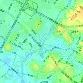
沙河街道 topographic map
Interactive map
Click on the map to display elevation.
About this map
Name: 沙河街道 topographic map, elevation, terrain.
Location: 沙河街道, 锦江区, 成都市, 四川省, 中国 (30.62207 104.09698 30.64574 104.12691)
Average elevation: 1,631 ft
Minimum elevation: 1,598 ft
Maximum elevation: 1,683 ft
Other topographic maps
Click on a map to view its topography, its elevation and its terrain.