
火车南站街道 topographic map
Interactive map
Click on the map to display elevation.
About this map
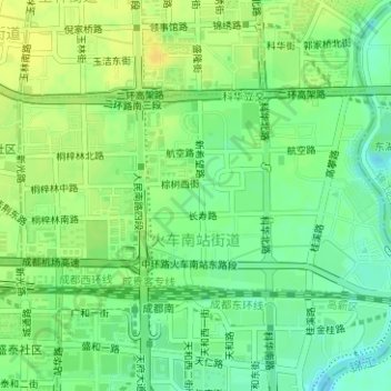
Name: 火车南站街道 topographic map, elevation, terrain.
Location: 火车南站街道, 武侯区, 成都市, 四川省, 中国 (30.60851 104.05491 30.62299 104.08592)
Average elevation: 1,611 ft
Minimum elevation: 1,572 ft
Maximum elevation: 1,647 ft
Other topographic maps
Click on a map to view its topography, its elevation and its terrain.