
芦葭镇 topographic map
Interactive map
Click on the map to display elevation.
About this map
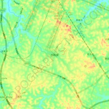
Name: 芦葭镇 topographic map, elevation, terrain.
Location: 芦葭镇, 成都市, 四川省, 641400, 中国 (30.23274 104.40254 30.31274 104.48254)
Average elevation: 1,440 ft
Minimum elevation: 1,352 ft
Maximum elevation: 1,552 ft
Other topographic maps
Click on a map to view its topography, its elevation and its terrain.