
茶店子街道 topographic map
Interactive map
Click on the map to display elevation.
About this map
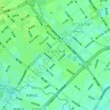
Name: 茶店子街道 topographic map, elevation, terrain.
Location: 茶店子街道, 金牛区, 成都市, 四川省, 中国 (30.68329 104.00117 30.70570 104.03657)
Average elevation: 1,667 ft
Minimum elevation: 1,647 ft
Maximum elevation: 1,680 ft
Other topographic maps
Click on a map to view its topography, its elevation and its terrain.