
锦官驿街道 topographic map
Interactive map
Click on the map to display elevation.
About this map
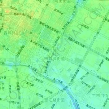
Name: 锦官驿街道 topographic map, elevation, terrain.
Location: 锦官驿街道, 锦江区, 成都市, 四川省, 610014, 中国 (30.64252 104.07249 30.65917 104.09349)
Average elevation: 1,634 ft
Minimum elevation: 1,598 ft
Maximum elevation: 1,677 ft
Other topographic maps
Click on a map to view its topography, its elevation and its terrain.