
沙河源街道 topographic map
Interactive map
Click on the map to display elevation.
About this map
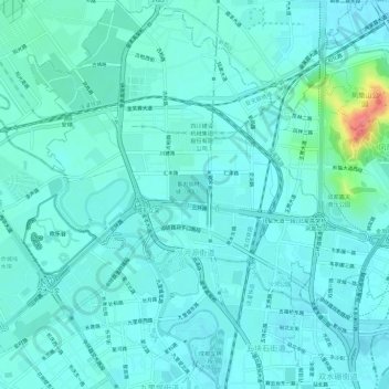
Name: 沙河源街道 topographic map, elevation, terrain.
Location: 沙河源街道, 金牛区, 成都市, 四川省, 中国 (30.70433 104.02602 30.75501 104.07267)
Average elevation: 1,677 ft
Minimum elevation: 1,640 ft
Maximum elevation: 1,873 ft
Other topographic maps
Click on a map to view its topography, its elevation and its terrain.