
华兴街道 topographic map
Interactive map
Click on the map to display elevation.
About this map
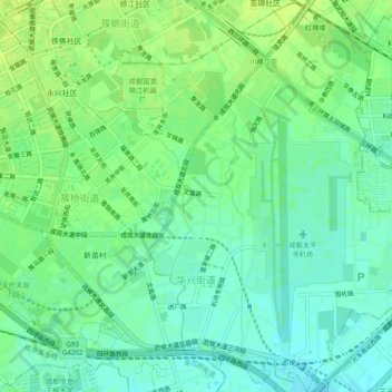
Name: 华兴街道 topographic map, elevation, terrain.
Location: 华兴街道, 武侯区, 成都市, 四川省, 中国 (30.58456 103.99749 30.62611 104.03004)
Average elevation: 1,617 ft
Minimum elevation: 1,591 ft
Maximum elevation: 1,640 ft
Other topographic maps
Click on a map to view its topography, its elevation and its terrain.