
金花桥街道 topographic map
Interactive map
Click on the map to display elevation.
About this map
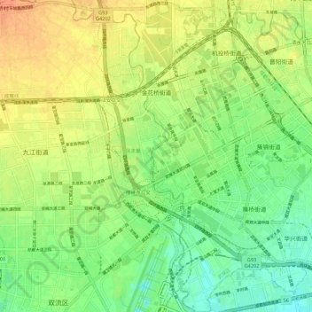
Name: 金花桥街道 topographic map, elevation, terrain.
Location: 金花桥街道, 武侯区, 成都市, 四川省, 中国 (30.57450 103.94565 30.66717 104.00694)
Average elevation: 1,644 ft
Minimum elevation: 1,585 ft
Maximum elevation: 1,706 ft
Other topographic maps
Click on a map to view its topography, its elevation and its terrain.