
机投桥街道 topographic map
Interactive map
Click on the map to display elevation.
About this map
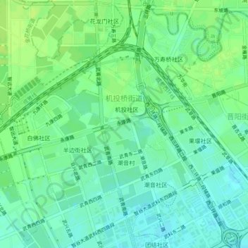
Name: 机投桥街道 topographic map, elevation, terrain.
Location: 机投桥街道, 武侯区, 成都市, 四川省, 中国 (30.63219 103.95913 30.66387 103.99888)
Average elevation: 1,654 ft
Minimum elevation: 1,631 ft
Maximum elevation: 1,673 ft
Other topographic maps
Click on a map to view its topography, its elevation and its terrain.