
金泉街道 topographic map
Interactive map
Click on the map to display elevation.
About this map
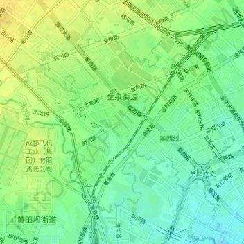
Name: 金泉街道 topographic map, elevation, terrain.
Location: 金泉街道, 金牛区, 成都市, 四川省, 610010, 中国 (30.69436 103.95145 30.73478 104.01473)
Average elevation: 1,693 ft
Minimum elevation: 1,660 ft
Maximum elevation: 1,729 ft
Other topographic maps
Click on a map to view its topography, its elevation and its terrain.