
绥德县 topographic map
Interactive map
Click on the map to display elevation.
About this map
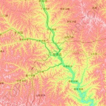
Name: 绥德县 topographic map, elevation, terrain.
Location: 绥德县, 榆林市, 陕西省, 中国 (37.27309 110.07050 37.75288 110.69539)
Average elevation: 3,343 ft
Minimum elevation: 2,392 ft
Maximum elevation: 4,180 ft
Other topographic maps
Click on a map to view its topography, its elevation and its terrain.