
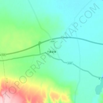
宁条梁镇 topographic map
Interactive map
Click on the map to display elevation.
About this map
Name: 宁条梁镇 topographic map, elevation, terrain.
Location: 宁条梁镇, 榆林市, 陕西省, 中国 (37.49950 108.35213 37.57950 108.43213)
Average elevation: 4,606 ft
Minimum elevation: 4,429 ft
Maximum elevation: 5,154 ft
Other topographic maps
Click on a map to view its topography, its elevation and its terrain.