
靖边县 topographic map
Interactive map
Click on the map to display elevation.
About this map
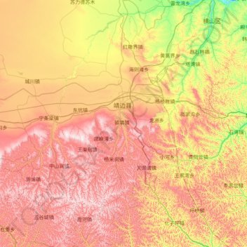
Name: 靖边县 topographic map, elevation, terrain.
Location: 靖边县, 榆林市, 陕西省, 718500, 中国 (36.97549 108.29538 38.04995 109.33480)
Average elevation: 4,501 ft
Minimum elevation: 3,258 ft
Maximum elevation: 5,965 ft
Other topographic maps
Click on a map to view its topography, its elevation and its terrain.