
神木市 topographic map
Interactive map
Click on the map to display elevation.
About this map
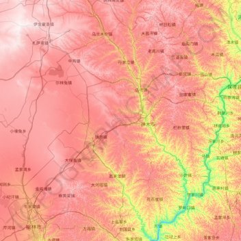
Name: 神木市 topographic map, elevation, terrain.
Location: 神木市, 榆林市, 陕西省, 中国 (38.20835 109.66347 39.46566 110.91848)
Average elevation: 3,835 ft
Minimum elevation: 2,372 ft
Maximum elevation: 4,977 ft
Other topographic maps
Click on a map to view its topography, its elevation and its terrain.