
米脂县 topographic map
Interactive map
Click on the map to display elevation.
About this map
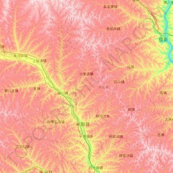
Name: 米脂县 topographic map, elevation, terrain.
Location: 米脂县, 榆林市, 陕西省, 中国 (37.65679 109.81773 38.08791 110.49185)
Average elevation: 3,409 ft
Minimum elevation: 2,277 ft
Maximum elevation: 4,170 ft
Other topographic maps
Click on a map to view its topography, its elevation and its terrain.