
大保当镇 topographic map
Interactive map
Click on the map to display elevation.
About this map
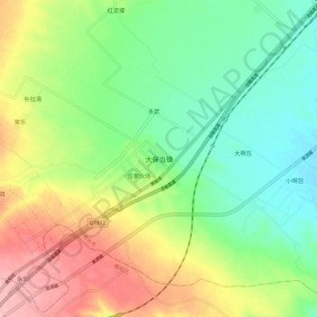
Name: 大保当镇 topographic map, elevation, terrain.
Location: 大保当镇, 榆林市, 陕西省, 中国 (38.59420 109.95156 38.67420 110.03156)
Average elevation: 4,006 ft
Minimum elevation: 3,829 ft
Maximum elevation: 4,281 ft
Other topographic maps
Click on a map to view its topography, its elevation and its terrain.