
乌镇 topographic map
Interactive map
Click on the map to display elevation.
About this map
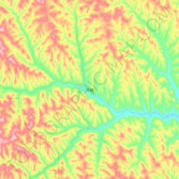
Name: 乌镇 topographic map, elevation, terrain.
Location: 乌镇, 榆林市, 陕西省, 中国 (37.89434 110.32116 37.97434 110.40116)
Average elevation: 3,323 ft
Minimum elevation: 2,936 ft
Maximum elevation: 3,701 ft
Other topographic maps
Click on a map to view its topography, its elevation and its terrain.