
黄蒿界乡 topographic map
Interactive map
Click on the map to display elevation.
About this map
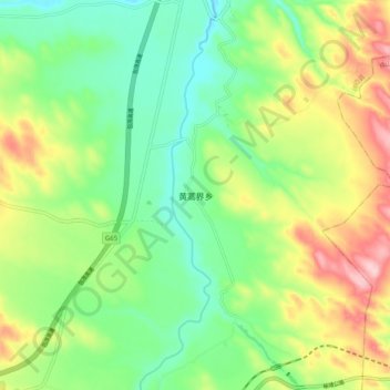
Name: 黄蒿界乡 topographic map, elevation, terrain.
Location: 黄蒿界乡, 榆林市, 陕西省, 中国 (37.77131 109.01852 37.85131 109.09852)
Average elevation: 4,026 ft
Minimum elevation: 3,763 ft
Maximum elevation: 4,462 ft
Other topographic maps
Click on a map to view its topography, its elevation and its terrain.