
府谷县 topographic map
Interactive map
Click on the map to display elevation.
About this map
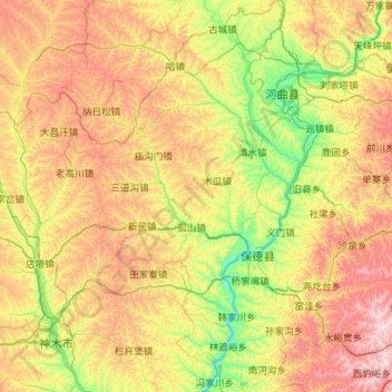
Name: 府谷县 topographic map, elevation, terrain.
Location: 府谷县, 榆林市, 陕西省, 中国 (38.71154 110.37667 39.58494 111.24248)
Average elevation: 3,793 ft
Minimum elevation: 2,569 ft
Maximum elevation: 5,935 ft
Other topographic maps
Click on a map to view its topography, its elevation and its terrain.