
高家堡镇 topographic map
Interactive map
Click on the map to display elevation.
About this map
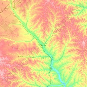
Name: 高家堡镇 topographic map, elevation, terrain.
Location: 高家堡镇, 神木市, 榆林市, 陕西省, 中国 (38.37837 110.10051 38.73920 110.51163)
Average elevation: 3,694 ft
Minimum elevation: 2,874 ft
Maximum elevation: 4,485 ft
Other topographic maps
Click on a map to view its topography, its elevation and its terrain.