
天台山 topographic map
Interactive map
Click on the map to display elevation.
About this map
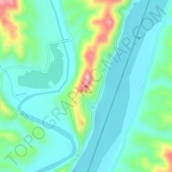
Name: 天台山 topographic map, elevation, terrain.
Location: 天台山, 榆林市, 陕西省, 中国 (38.41764 110.75563 38.41774 110.75573)
Average elevation: 2,579 ft
Minimum elevation: 2,418 ft
Maximum elevation: 3,120 ft
Other topographic maps
Click on a map to view its topography, its elevation and its terrain.