
子洲县 topographic map
Interactive map
Click on the map to display elevation.
About this map
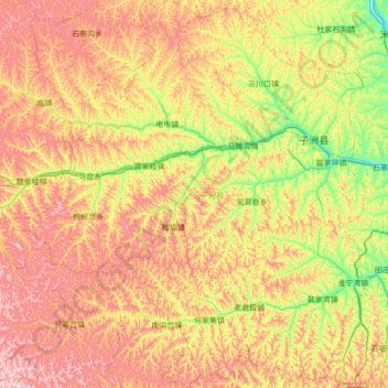
Name: 子洲县 topographic map, elevation, terrain.
Location: 子洲县, 榆林市, 陕西省, 中国 (37.25704 109.48761 37.80468 110.13409)
Average elevation: 3,668 ft
Minimum elevation: 2,808 ft
Maximum elevation: 4,715 ft
Other topographic maps
Click on a map to view its topography, its elevation and its terrain.