
Fujimi topographic map
Interactive map
Click on the map to display elevation.
About this map
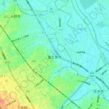
Name: Fujimi topographic map, elevation, terrain.
Location: Fujimi, Préfecture de Saitama, Japon (35.82731 139.51152 35.88832 139.58700)
Average elevation: 52 ft
Minimum elevation: 10 ft
Maximum elevation: 171 ft
Other topographic maps
Click on a map to view its topography, its elevation and its terrain.