
Kanoya topographic map
Interactive map
Click on the map to display elevation.
About this map
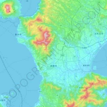
Name: Kanoya topographic map, elevation, terrain.
Location: Kanoya, Préfecture de Kagoshima, 893-8501, Japon (31.22779 130.66248 31.61696 130.97221)
Average elevation: 489 ft
Minimum elevation: -3 ft
Maximum elevation: 3,914 ft
Other topographic maps
Click on a map to view its topography, its elevation and its terrain.