
Préfecture de Fukuoka topographic map
Interactive map
Click on the map to display elevation.
About this map
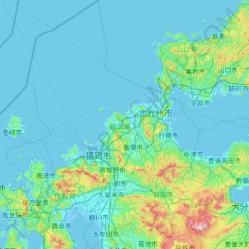
Name: Préfecture de Fukuoka topographic map, elevation, terrain.
Location: Préfecture de Fukuoka, Japon (32.93973 129.81331 34.64749 131.24950)
Average elevation: 387 ft
Minimum elevation: -13 ft
Maximum elevation: 5,751 ft
Other topographic maps
Click on a map to view its topography, its elevation and its terrain.